

Latest Weather Blog
Sunday PM Forecast: Rain on its way out, sunshine and 70s returning soon
After a soaking rain on Sunday, sunnier days are ahead. The boost in sunshine and lack of major fronts will also push temperatures in a warmer direction.
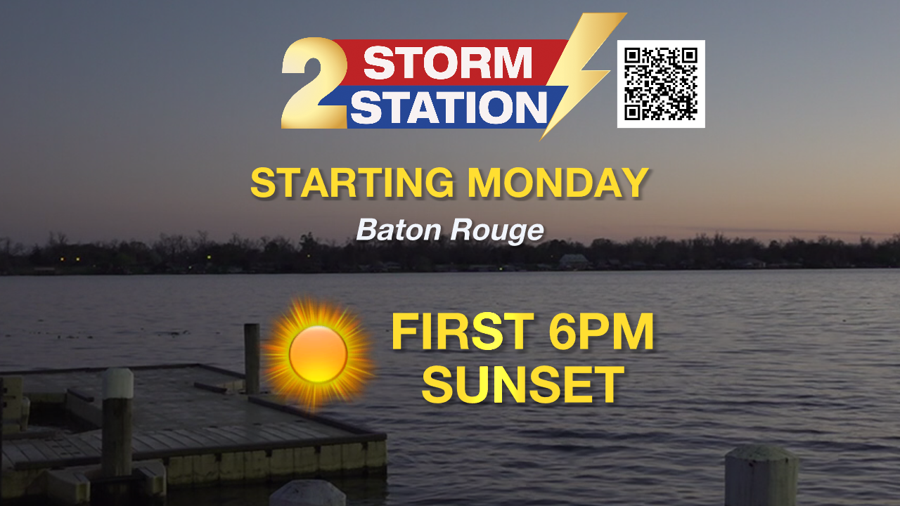
Tonight & Tomorrow: The wet weather is on its way out. The evening will be much drier as compared to how the day started. Although there may be some leftover showers or sprinkles, a punch of dry air in the mid-levels of the atmosphere will limit the coverage and intensity of rain. The rest of the night will otherwise be overcast with a low near normal – 47°. A spotty sprinkle or two cannot be ruled out during the Monday morning drive, but it will not be anything widespread or heavy. All rain will be gone by the afternoon. Look for a high in the mid-60s with partial clearing. Look to the west around sunset; it will be the first one after 6 p.m. this year.
Up Next: Skies will turn mostly clear by Monday morning. Conditions will be favorable for patchy fog development late in the night. Visibilities will improve in affected areas by late morning on Tuesday, leading to a mainly sunny afternoon with highs returning into the 70s. It’s a copy-and-paste forecast from Tuesday into Wednesday, with patchy morning fog leading to afternoon sun with a high in the 70s. On Thursday, a cold front will push through the region. Rain appears to be limited with this system, but it will bring a minor cooldown. Because this front is Pacific, not Arctic, in origin, a major drop in temperatures is not expected.
Get the latest 7-day forecast and real-time weather updates HERE.
Trending News
Watch live news HERE.
-- Meteorologist Malcolm Byron
The Storm Station is here for you, on every platform. Your weather updates can be found on News 2, wbrz.com, and the WBRZ WX App on your Apple or Android device. Follow WBRZ Weather on Facebook and X for even more weather updates while you are on the go.
More News
