

Latest Weather Blog
Monday AM forecast: Scattered afternoon downpours, new depression forms offshore
A tropical system in the Gulf will be a big part of the forecast this week, but most of its local impacts should stay offshore. Rain and thunderstorms will remain common across South Louisiana, with the wettest weather shifting around through the week.

Today & Tonight: Scattered showers and thunderstorms will develop today, especially near the coast. The tropical system about 200 miles south of New Orleans will help keep moisture and rain chances elevated, but most of its direct impacts should remain offshore. A few storms could produce heavy rain, frequent lightning, strong wind gusts, and an isolated waterspout over the lakes and offshore waters. Highs will be in the upper 80s to lower 90s.

Use the slider to advance through the next 24 hours of Futurecast
Up Next: The active pattern continues through the work week with daily rounds of showers and thunderstorms. Rain coverage may vary considerably across the Capital Region, with some areas seeing several inches of rain while others stay much drier. Another area of tropical moisture could increase rain chances around the middle of the week, and the remnants of Dolly may approach the Gulf late Friday or Saturday.
Trending News
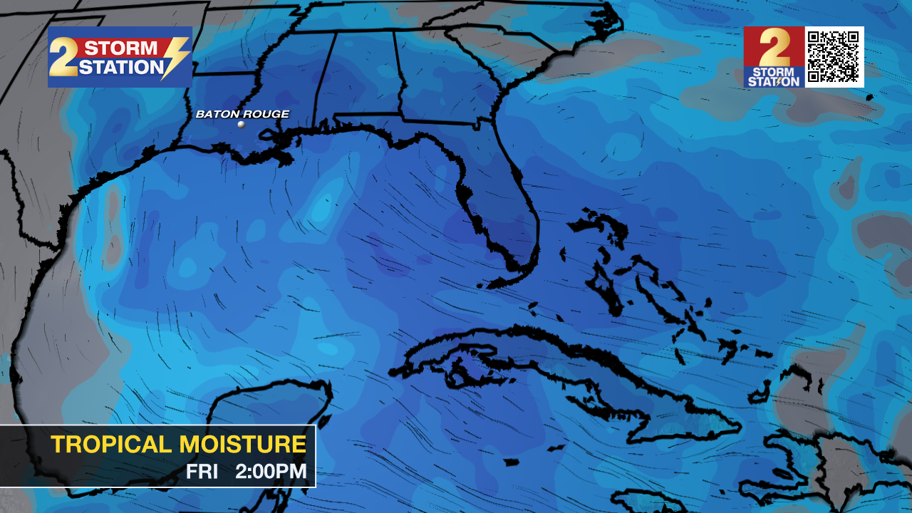
The Tropics: Tropical Depression Five officially formed approximately 120 miles southeast of Morgan City on Monday afternoon. Five is expected to intensify and become Tropical Storm Edouard by Monday night or Tuesday. The system will be short-lived, eventually making landfall somewhere between Houston and Lake Charles on Tuesday. The primary impacts from the storm will be concentrated offshore, in addition to the Upper Texas and southeast Louisiana coasts.
Notably, this will be a compact system, with peak winds tightly concentrated around the center of circulation. Consequently, direct impacts will be confined to a relatively small footprint. However, such systems often intensify or weaken erratically with little warning. Fortunately, no significant impacts are expected in the Capital Area.

– Dave, Malcolm
Get the latest 7-day forecast and real-time weather updates HERE.
Watch live news HERE.
The Storm Station is here for you, on every platform. Your weather updates can be found on News 2, wbrz.com, and the WBRZ WX App on your Apple or Android device. Follow WBRZ Weather on Facebook and X for even more weather updates while you are on the go.
More News

