Friday Morning Video Forecast
Related Story
Thanks to dry air in place across Louisiana this weekend, conditions will be very comfortable for this time of year. Expect seasonable mornings in the mid-60's and afternoons in the 80's with plenty of sunshine.
Today & Tonight: With clear skies and dew points in the 50's (aka low humidity), Friday morning will feature some of the coolest temperatures around the region in more than 4 months! By sunrise, temperatures will have dipped into the lower 60's in Baton Rouge and possibly into the 50s in northern parishes. Following the cooler start, full sunshine will warm temperatures into the middle and upper 80's this afternoon around the Capital Area. Low humidity will make the warm afternoon very comfortable while winds will remain out of the north at 5-15 mph.
Once the sun sets this evening, around 6:54pm, temperatures will begin falling. Any late night plans will be accompanied by temperatures in the mid-70s and will continue to cool into the mid-60's by early Saturday.
LSU Football: According to the Storm Station LSU Football Kickoff Weather Index, the Tigers have an 85% success rate in these conditions. Kickoff at 6:30pm is slated for a temperature in the upper 70s with mostly sunny skies. Review the index through the season and see the last time the team lost in this weather, HERE.

Up Next: Temperatures in late September average near 66° for lows and 87° for afternoon highs; give or take a few degrees each day, this is how temperatures will be over the next week. The seasonable temperatures are possible thanks to the cold front that delivered much drier air to the region Wednesday night. We will likely see another reinforcing shot of dry air next week, which will keep temperatures, humidity, and rain in check.
Get the latest 7-day forecast and real time weather updates HERE.
Watch live news HERE.

The Tropics: After becoming a Major Category 4 Hurricane before landfall late Thursday night, Helene continues moving rapidly through the state of GA early Friday. As of the 10:00a.m. advisory, the system remains a Tropical Storm with maximum winds of 60 mph. Remnants will slow down across the Carolinas and Tennessee on Friday. After a surge of 10-15 feet near the landfall location, damaging winds and flooding rain will spread all across much of Florida, Georgia, and higher elevations of The Carolinas over the next day or two.
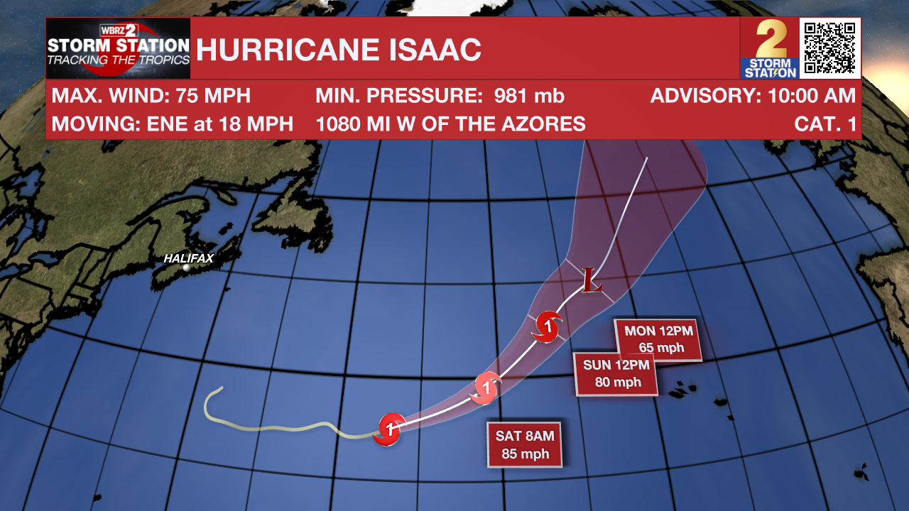
Hurricane Isaac is cross the north, central Atlantic Ocean with maximum sustained winds of 75 mph. Though it will continue at this strength through the weekend, this storm will not be near any landmasses.

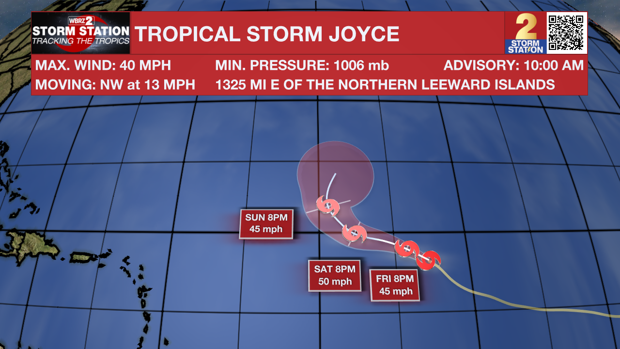
Tropical Storm Joyce formed in the Tropical Atlantic Friday morning, becoming the 10th named storm of the season. This system currently has maximum sustained winds of 40 mph and is forecast to strengthen slightly over the next 24 hours before losing it's energy by the end of the weekend. Joyce poses no threat to land.

An area of low pressure could form over the western Caribbean by the middle of next week. Environmental conditions are expected to be conducive for slow development thereafter, while the system moves generally northwestward.
Another area of low pressure could form over the eastern tropical Atlantic by the early to middle part of next week. Environmental conditions are expected to be conducive for slow development thereafter while the system moves generally northwestward at 10 to 15 mph.
– Emma Kate C.
The Storm Station is here for you, on every platform. Your weather updates can be found on News 2, wbrz.com, and the WBRZ WX App on your Apple or Android device. Follow WBRZ Weather on Facebook and Twitter for even more weather updates while you are on the go.


