

Latest Weather Blog
Saturday PM Forecast: calm weather conditions continue, tropics still busy
The next several days will feature slightly above average temperatures, lots of sunshine, and no chance of rain. Peak season activity continues in the tropics, and another disturbance is expected to form in the Caribbean.
Tonight & Tomorrow: A very seasonable night is expected. Lows will be in the middle 60's under clear skies. More calm weather is expected for your Sunday. Highs will be a little above average near 90 degrees, skies will be mostly sunny with no chance of rain, and humidity will stay in check. You might sweat a bit, but any outdoor plans are good to go!
Up Next: Much more of the same is expected through the middle of next week. There will be a few differences. Lows will increase to near 70 degrees making nights slightly less comfortable, and cloud cover will slightly increase. By the end of the week, there are signs of moisture beginning to increase, with slight rain chances returning. At this range, confidence is low on the exact rain coverage, so expect changes in the coming days.
Get the latest 7-day forecast and real time weather updates HERE.
Watch live news HERE.
Trending News
The Tropics:
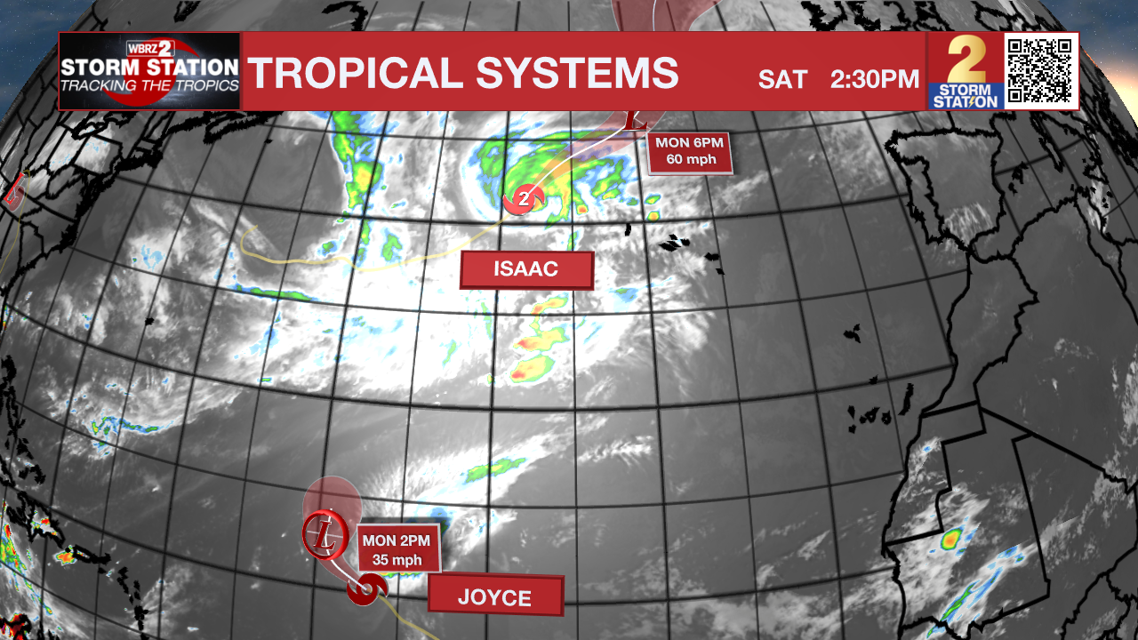
Tropical Storm Joyce has maximum sustained winds of 45mph, and is moving WNW at 9 mph. This storm will slowly turn north over open water, before dissipating early next week.
Hurricane Isaac is slowly winding down. It is still a category 2 hurricane with 100 mph winds, and is moving NE at 18 mph. Isaac is moving into cooler waters, which will lead to gradual weakening. The storm could send high swells toward The Azores.
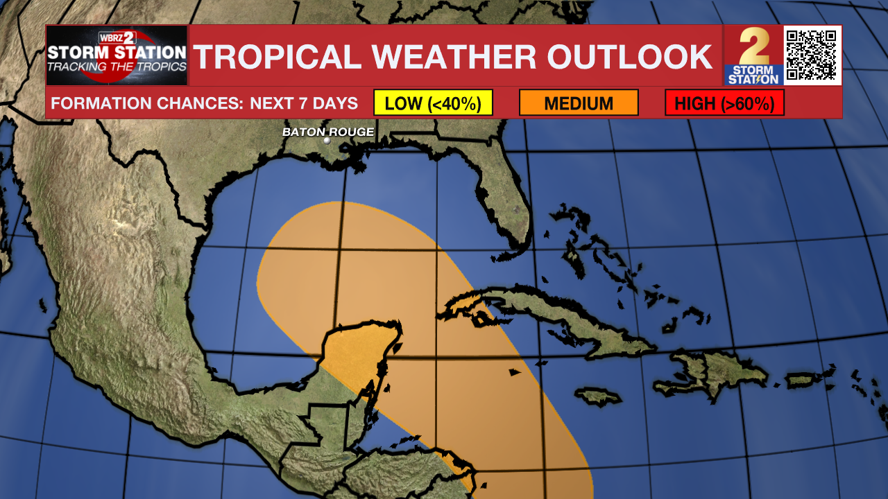
An area of low pressure is expected to form over the western Caribbean Sea in a couple of days. Environmental conditions are forecast to be conducive for gradual development thereafter, and a
tropical depression could form around the middle part of next week. This system is expected to move northwestward into the Gulf of Mexico during the latter portion of next week, and interests in the northwestern Caribbean Sea and along the U.S. Gulf Coast should monitor its progress.
An elongated area of low pressure located a couple of hundred miles west of the Cabo Verde Islands continues to produce disorganized showers and thunderstorms. Environmental conditions appear conducive for gradual development of this system, and a tropical depression will likely form during the early or middle part of next week while the system moves toward the west and then northwest across the eastern and central tropical Atlantic.
– Balin
The Storm Station is here for you, on every platform. Your weather updates can be found on News 2, wbrz.com, and the WBRZ WX App on your Apple or Android device. Follow WBRZ Weather on Facebook and Twitter for even more weather updates while you are on the go.
More News
