

Latest Weather Blog
Friday morning video forecast
Related Story
After a front passage, expect chilly lows in the 40s the next few mornings. This will quickly end Sunday as moister and warmer air moves back in.
Today & Tonight: Temperatures start out in the 40s this morning behind a cold front that moved through yesterday evening. Drier, cooler air will stay in place today, bringing plenty of sunshine and afternoon highs in the lower 60s. Tonight will likely be the last chilly one for a while, with lows dropping into the lower 40s, and a few spots possibly slipping into the upper 30s.
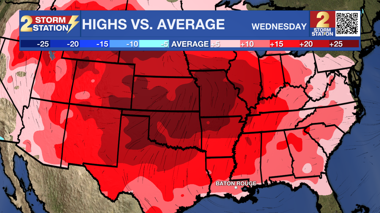
Up Next: The calendar may say late December, but the weather won’t be getting the memo this weekend. A surge of warmer air will push temperatures well above normal, with Saturday topping out in the low to mid 70s under mostly clear skies. By Sunday, a front stalled to our north will allow a bit more Gulf moisture to creep in, making it feel slightly more muggy and opening the door for a few spotty showers. Any rain looks brief and isolated, so most plans should go off without interruption. Just keep an eye out for a passing shower. Even as astronomical winter officially begins, afternoon temperatures will still climb into the mid 70s. The weak boundary fades early next week, shutting down rain chances while the unseasonable warmth sticks around through Christmas. Expect calm, sunny afternoons overall, though a little patchy morning fog can’t be ruled out.
Get the latest 7-day forecast and real-time weather updates HERE.
Watch live news HERE.
– Balin
The Storm Station is here for you, on every platform. Your weather updates can be found on News 2, wbrz.com, and the WBRZ WX App on your Apple or Android device. Follow WBRZ Weather on Facebook and X for even more weather updates while you are on the go.
News
