

Latest Weather Blog
Wednesday PM Forecast: Another round of heat alerts, storms seeking to provide some relief
Although summer heat will still latch onto the Capital Area through the end of the week, it may loosen its grip as afternoon thunderstorms return to the forecast. While this may offer brief relief from the heat, it could also disrupt outdoor plans.
Tonight & Tomorrow: Overnight temperatures will stay elevated under partly cloudy skies, holding in the 80s for most of the night before briefly dipping into the upper 70s by sunrise. This will mark the fifth consecutive morning with a low of 77° or above. Especially for those without access to air conditioning, the lack of overnight heat relief makes enduring another day of intense heat more difficult. A few storms on Thursday could send out rain-cooled air to take the edge off the afternoon heat, though overall coverage will stay isolated, with the best chances north and east of Baton Rouge.

Use the slider to advance through the next 24 hours of Futurecast
Before storms develop, temperatures will top out in the mid-90s. An area-wide Heat Advisory will be in effect from 11 a.m. to 7 p.m. Thursday as the humidity could place feels-like temperatures at or above 108°.
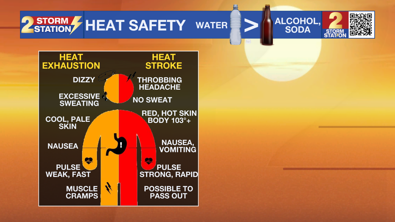
Because heat stress on the body accumulates over many days, continue taking extra precautions. Drink plenty of fluids, limit direct sun exposure, take breaks in the shade or A/C, and check in on friends, family, and neighbors. If someone shows signs of heat stroke or becomes overcome by the heat, move them to a cool location immediately and call 911, as heat stroke is a medical emergency.
Up Next: Friday will mirror Thursday, with sweltering heat and humidity triggering a fresh round of isolated afternoon storms, at least offering a chance for some heat relief. An incoming upper-level disturbance will boost our storm chances this weekend, dragging a weak front toward the region. Expect scattered afternoon storms on Saturday to grow more numerous overnight and into early Sunday as the system settles in. Storms will gradually taper thereafter, with the daily coverage starting to come down into early next week. While this rain may limit the heat, some weekend outdoor activities could be impacted. Should downpours repeat over the same areas on consecutive days, nuisance street and poor-drainage flooding cannot be ruled out.
Trending News

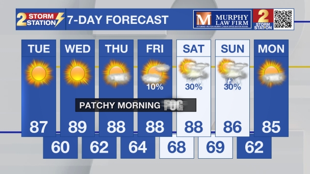
Get the latest 7-day forecast and real-time weather updates HERE.
Watch live news HERE.
The Tropics: The Gulf, Caribbean and Atlantic are quiet. No tropical development is expected over the next seven days.
— Meteorologist Malcolm Byron
The Storm Station is here for you, on every platform. Your weather updates can be found on News 2, wbrz.com, and the WBRZ WX App on your Apple or Android device. Follow WBRZ Weather on Facebook and X for even more weather updates while you are on the go.
More News

