

Latest Weather Blog
Sunday AM Forecast: Heat Advisory in Effect. New Info on Tropical Weather
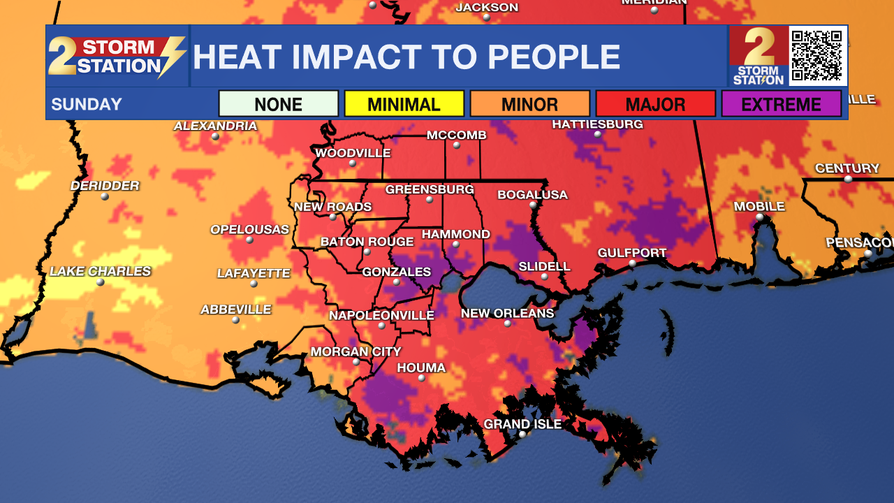
A Heat Advisory is in effect today as heat index values climb into the 108 to 112 degree range across much of southeast Louisiana. While a few isolated storms are possible this afternoon, the biggest weather story through much of the week will be dangerous heat.

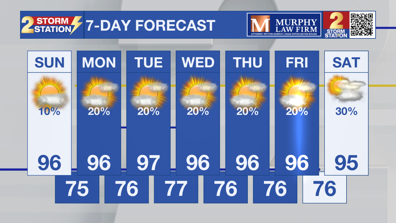
Today and Tonight: Heat takes center stage today with afternoon temperatures climbing into the mid and upper 90s. Combined with high humidity, it will feel between 108 and 112 degrees across much of the area, prompting a Heat Advisory through 6 p.m. Most communities will stay dry, but isolated thunderstorms are expected to develop late this afternoon, mainly along and east of Interstate 55. Tonight remains warm and muggy with lows only falling into the upper 70s to around 80 degrees.
Trending News
Up Next: The dangerous heat continues through much of the upcoming week, with heat advisories likely on multiple days. Some areas could approach Extreme Heat Warning criteria Monday through Wednesday if heat index values continue to climb above 110 degrees. Rain chances remain low, but isolated afternoon storms will continue to pop up each day. Even with limited coverage, any storm that forms could become strong because of the intense daytime heating.
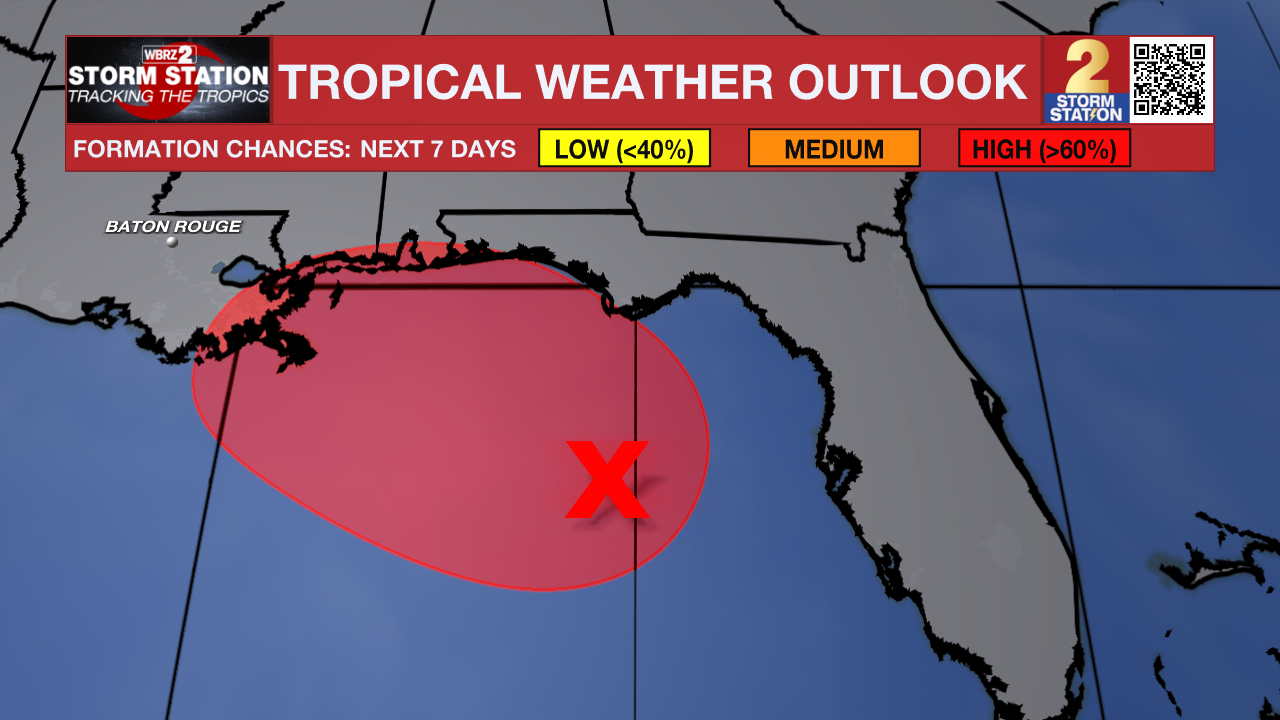
Tropics: The National Hurricane Center has increased development chances for Invest AL91 in the northeastern Gulf to 80 percent over the next two and seven days. Forecasters say a tropical depression is likely to form later today or Monday as the system drifts slowly northward or northwestward. At this time, the system is expected to bring its greatest impacts to the Florida Panhandle, Alabama, and Mississippi Gulf Coast with heavy rainfall, gusty winds, and rough marine conditions. While southeast Louisiana is not expected to see direct tropical impacts, areas east of Interstate 55 could see a slight increase in afternoon thunderstorm activity as deeper moisture gradually edges westward over the next few days.
As always during hurricane season, continue to monitor the forecast. Even systems that are not expected to directly impact Louisiana can change over time, and we'll continue watching AL91 closely.
Get the latest 7-day forecast and real-time weather updates HERE.
Watch live news HERE.
– Dave
The Storm Station is here for you, on every platform. Your weather updates can be found on News 2, wbrz.com, and the WBRZ WX App on your Apple or Android device. Follow WBRZ Weather on Facebook and X for even more weather updates while you are on the go.
More News

