

Latest Weather Blog
Wednesday PM Forecast: weak cold front arrives ahead of Mardi Gras weekend
A weak cold front will slide into the region overnight. While clouds and even a passing shower are possible with the front, no major impacts are expected through the weekend.
Tonight and Tomorrow: As a weak cold front approaches the Capital Area, cloud cover is expected to increase overnight. Some patchy fog could develop as well, especially where clouds are thinner, but this should be the exception rather than the rule. Low temperatures will settle in the mid-50s. The front will come through with little fanfare on Thursday. Look for a lot of cloud cover and perhaps a passing light shower or sprinkles. High temperatures will be limited to the low 70s with winds shifting northwest at 5-10mph.
Friday to Sunday: Through the weekend, we can expect pretty typical weather for late winter—pleasant, with highs in the 70s and lows in the 40s. The big plus is that no rain is in the forecast for a big weekend of Mardi Gras parades!
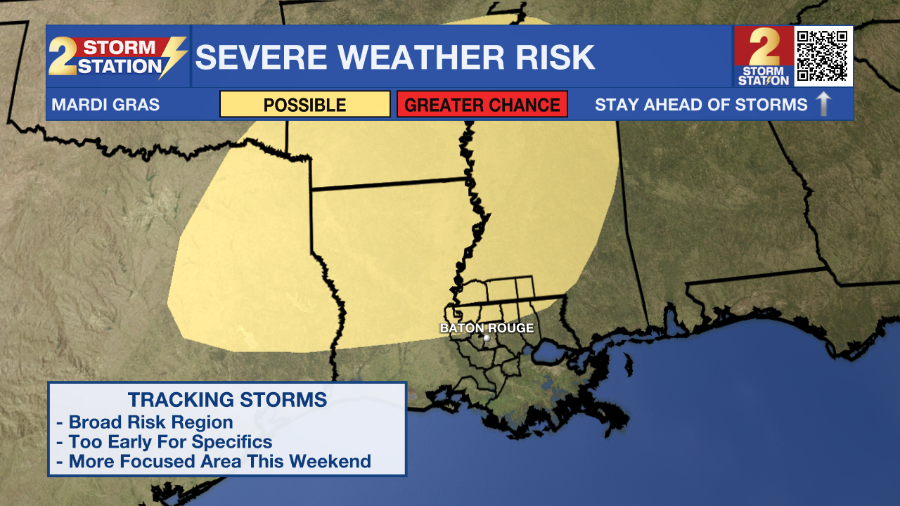
Looking Into Next Week: Looking ahead, the next weather system might start affecting the area by Tuesday night or Wednesday. It’s still a bit too early to pin down details on the potential for severe weather, but timing for rain is coming into better focus on Tuesday into Wednesday.
Trending News
More details will become clear as forecasts are refined over the coming days. The early takeaway is that windy and potentially unsettled weather looks to be on tap, so those with outdoor plans for Mardi Gras, and even Ash Wednesday should stay in touch with the forecast.
Get the latest 7-day forecast and real-time weather updates HERE.
Watch live news HERE.
– Josh
The Storm Station is here for you, on every platform. Your weather updates can be found on News 2, wbrz.com, and the WBRZ WX App on your Apple or Android device. Follow WBRZ Weather on Facebook and X for even more weather updates while you are on the go.
More News
