

Latest Weather Blog
Monday PM Forecast: more rounds of rain and storms
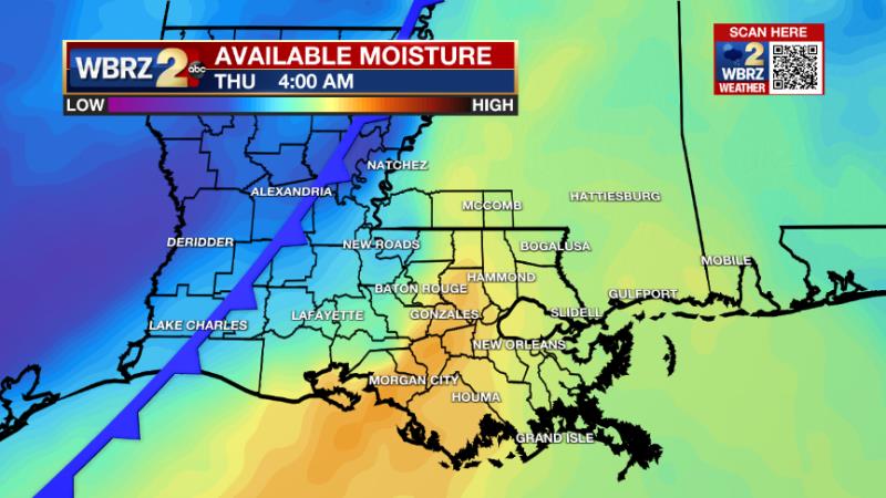
The active weather pattern will stick around for the first half of the week. While plenty of dry time is expected, there will be several rounds of showers and thunderstorms all the way through Thursday morning.
Next 24 Hours: With mostly cloudy skies, lingering showers and thunderstorms will diminish in coverage but remain possible during the overnight hours. All the leftover moisture at the surface from recent rain will keep it feeling muggy with low temperatures in the low 70s. The next batch of showers and thunderstorms could pop around mid-morning on Tuesday and scattered action will continue into the afternoon. It will not be a washout and some times of sun can be expected. The temperatures will be dependent on if, and when, a spot gets rain. Therefore, highs will fall in a range of about 83 – 87 degrees area wide with the warmer numbers happening in locations that stay dry or get rain later in the day.
Up Next: A cold front will move into the region on Wednesday. While sun may be hard to come by, some early dry time will allow high temperatures into the low 80s. By afternoon, the boundary will set off widespread showers and thunderstorms. As the front crawls through the area, off and on activity will continue overnight and into Thursday morning. A couple of inches of rain could fall in the 12 – 18 hour window it will take for the front to pass. As drier air spills into the region, clearing is expected as soon as Thursday afternoon, but certainly overnight into Friday. Rather pleasant late May weather is anticipated for the Memorial Day Weekend, with a drop in humidity even possible, noted in cooler than average low temperatures! CLICK HERE for your detailed 7-Day Forecast.
The Tropics: The National Hurricane Center has started issuing official, tropical weather outlooks. While this was previously done on the first day of hurricane season, June 1, last year the NHC decided to start outlooks earlier due to the recent string of pre-season tropical systems. In this year's first outlook, no development is expected over the next 5 days.
Trending News
The Explanation: An upper level disturbance will move into the region on Tuesday morning. As we cotinine to have ample moisture in place, scattered showers and thunderstorms should have no problem developing in response to this lift. A little surface warming will certainly aid in activity maximizing during the midday hours. With this feature east by the evening hours, a quiet period is anticipated overnight into Wednesday. The last round of showers and thunderstorms will be created by an upper level trough of low pressure lifting through the Great Plains during the middle of the week. An associated cold front will be pulled eastward and into the local area on Wednesday afternoon. With plenty of instability by that time and high atmospheric moisture, widespread showers and thunderstorms will develop. Since wind shear is lacking, there is not significant threat for severe thunderstorms but some downpours certainly remain possible, if not likely. The action may continue overnight and into early Thursday until the cold front passes through the area. Yes, it does appear this cold front will move through the area to reduce humidity quite a bit and even temperatures a few degrees for the Memorial Day Weekend. Drier, northwest winds aloft will be around Friday through the weekend with mainly clear skies and seasonably warm afternoons. A few mornings could have low temperatures a touch below average, in the low to mid 60s.
--Josh
The Storm Station is here for you, on every platform. Your weather updates can be found on News 2, wbrz.com, and the WBRZ WX App on your Apple or Android device. Follow WBRZ Weather on Facebook and Twitter for even more weather updates while you are on the go.
More News
